March 21, 2013:
We wake up around 7:30 am and get going around 9:00 am. We head out back on the parkway and the headwinds start to pick. We ride long the shore of the "Ross R Barnett Reservoir" for about 10 miles and is a real nice view, then we enter Jackson, MS in which is too early for lunch, it seems whenever we pass through large cities we are always in between meal times. The traffic is stating to get real heavy along the trace and we noticed that they put a bike path along the parkway. So we jump on the bike path to avoid the traffic which then takes us into the city of Clinton and then the path ends without getting us back on to the Parkway. It was about 50 yards where we had to walk our bikes to get back on the Parkway.
The next order of business is for me to get gas for my stove, so I look up on my phone for a sporting store, but none to be found. Only place I know who will have fuel is Walmart, I find a Walmart in Google Maps on my phone and I get bicycle directions from where our current location is. It is about 2 miles off the parkway and 7 miles south of us, the directions show that we get off the Parkway immediately go east and then south and ride parallel to the Parkway. We go east about a 1/4 mile then south we ride another 1/2 mile and we see a sign "Bridge Closed" but we keep on going, then we came upon detour route sign. We now see the bridge about 1/2 mile down the road, it looks like its in-tacked with no construction equipment, so we go around the barricade signs and decide to go over the bridge. As we are approaching the bridge I see smoke coming out from under the bridge.... hmm I thought to myself probably homeless person cooking lunch under the bridge. As we were crossing over bridge the smell from the smoke did not smell like wood burning or food cooking, it had a very heavy chemical smell to it. Then I thought about it for a second and I think we just biked over a Meth lab that was under a closed bridge. So we continued on through neighborhoods that looked a little rough around the edges, but the nice thing about using Google is that you can select the mode of transportation "bicycle" and it will route you through low volume roads such as neighborhood streets. The next thing Google needs to add to their mapping application is crime stats, where you choose the level of crime you want to bike through or bike around to avoid such areas. It really did not bother me, when I lived in New York, I biked through some real bad areas in New York City in the late 80's, but not sure if George was very comfortable biking around here. So we were riding through one neighborhood after another standing out like two turds in a punch bowl, then we came up to a light and Walmart was on the other side of the street. George was very impressed with the Google Navigator tool on my Google phone.
We park our bikes inside the store entrance where the friendly Walmart greeter could see our bikes. The greeter was around 80 years old, had coke bottle glasses and then I forgot to give him a vision test, you know the ""How many fingers are we holding up" test before we entered the store. I went in for fuel, also picked up a banana and some heavy duty socks that were on sale. I beat George back to our bikes, then I was contemplating on getting beer here or wait, we had another 30 miles to go. My rule of thumb for a beer run is 10 miles or less from our stopping point for the night. Generally I do not like to carry the extra weight and also beer will get shaken up especially on rough roads, in which I know we would be going over some rough sections getting back on the Parkway. The Parkway has been very smooth with a few sections where it was little rough, at least smooth enough to keep your beer in-tacked for a few miles. So we decide to take a short cut to the Parkway and avoid getting on an actual Parkway entrance, we biked to a bridge crossing and walked our bikes up a hill onto the Parkway.
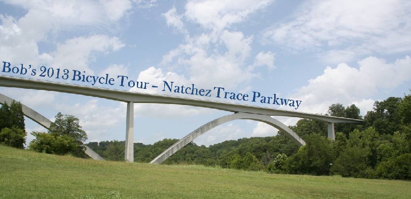
The Natchez Trace Parkway is 444 mile long road which has no stop or yield signs, no traffic lights and very few on-off ramps or intersections, but it sure has a lot of bridge crossings. So if you have a car that can achieve 450 miles on a full tank of gas, you can start from one end to another without ever stopping. The problem is the speed limit is 40 to 50 Mph, so it would take over 9 hours to complete.
So we get back on the Parkway, bike another 30 miles, we pull into Rocky Springs, setup camp, eat dinner and crash out for the night. No pictures today
This is a daily blog of my Natchez Trace Parkway cycle adventure 2013. I cover my daily activities and anomalies through out 10 days of 500+ miles of riding on the Natchez Trace Parkway. Some days were average days of riding and then they were the days that made it all worth while of a true adventure in Humanity and defying Mother Nature's wrath. I hope you enjoy the read and please leave comments. Blog entries are not in order, start out with "T - Minus 1 Day" and then Day 1, Day 2 and so on.
No comments:
Post a Comment